


Department of Geography and DGS celebrates Gala dé Carte
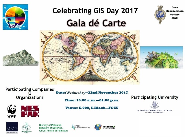
On Thursday 22 November 2017, Geography Department and Dean Geographical Society (DGS) organized a mega event in the context of GIS Day (Gala dé Carte) which is celebrated each year on the third Wednesday of November. The event was comprised of informative talks by professionals, certificate distribution followed by GIS Cake cutting ceremony. Professionals from Survey of Pakistan (SoP), National Engineering Services Pakistan (NESPAK), WWF, MM Pakistan, Open Humanitarians, University of the Punjab and The Spatio participated/ presented their work and gave informative talks on importance/ utility of GIS in real world applications. Among the presenters, Mr Badar-Ul-Hussnain (Senior GIS/ RS Specialist, NESPAK) presented the work of NESPAK; Mr Usman Latif (Founder of Open Humanitarians) talked about Open Data Mapping; Dr Atif Butt (GIS Consultant) presented idea on WebGIS Development and Application and Mr Gauhar Rehman (Project Manager MMP) presented a case study on GIS application for ground water in Lahore.
International speaker from Vietnam, Dr Nguyen Quoc Long (Head of Surveying and Mining Department, Hanoi University of Mining and Geology), also participated via Skype and presented work on GIS applications in Geology and Mining.
The presentations were followed by GIS Cake cutting ceremony by Professor and Executive Dean of Social Sciences and Management, Dr Noel Khokhar and Chairperson, Department of Geography, Mr Kashif Shafique.
The event was summarized in Certificates and Shields Distribution Ceremony in which Dr Khokhar presented shields and certificates to the officials from various companies. The event was organized in the supervision of Geography faculty members including Lecturer, Mr Adeel Ahmad; Lecturer, Hafsah Batool and Assistant Professor, Dr Khadija Shakrullah.
Students learned about many diverse fields in which Geographic Information System (GIS) and Remote Sensing can be applied. The event was full of awareness and a great opportunity to connect industries with educational institution.